

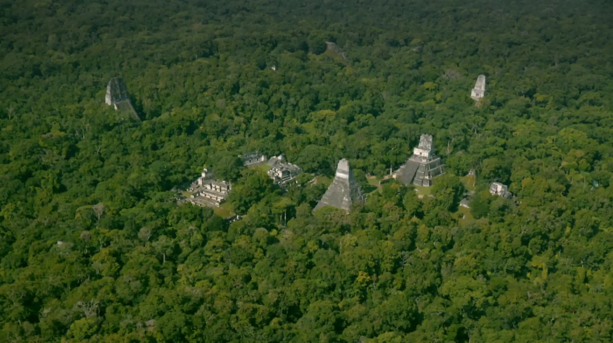
In Part 1 – we discussed some of the new and exciting ways LiDAR (Light Detection and Ranging) is helping out scientists uncover ancient mysteries and we briefly introduced the concept of this exciting technology. Well, in Part 2 we are going to focus on less exciting but an equally interesting topic for us specialists – analyzing the data.
We wish that it was as easy as going through a job site with a GPR unit (Ground Penetrating Radar), doing one pass, pressing a button and immediately showing our clients where all the utilities are located. Unfortunately for CNI Locates and other companies in the state of Washington, that is not the case.
Often times we need to use multiple methods to detect underground infrastructure, such as the aforementioned GPR, but also acoustic pipe detection, magnetic detection, metallic line detection, non-metallic pipe detection and more. When these methods are combined with aerial drone imagery for detailed surface-level documentation and precise GPS positioning, a simple two-dimensional map can quickly become a complex, three-dimensional maze of utilities located at varying depths. Many of these utilities follow the same routes, cross one another, or overlap within congested corridors. Untangling that mess is not an easy job and that’s where years of experience sure do make a difference.
Similar to us, the scientists that used LiDAR to uncover the mysteries of ancient settlements all across the world (but primarily in Latin America) also need to analyze the data their specialized planes gather.
And up till recently this work was mostly done by humans. We are sure however that since you are reading this, you probably haven’t lived under a rock for the past 3-4 years and have seen the rise of AI.
We won’t really be touching on the subject of generative AI in this blog post. What interests us most are the deep learning innovations that people like Shunli Wang and their colleagues presented in their 2024 paper – Archaeological site segmentation of ancient city walls based on deep learning and LiDAR remote sensing.
Finding Needles in Haystacks
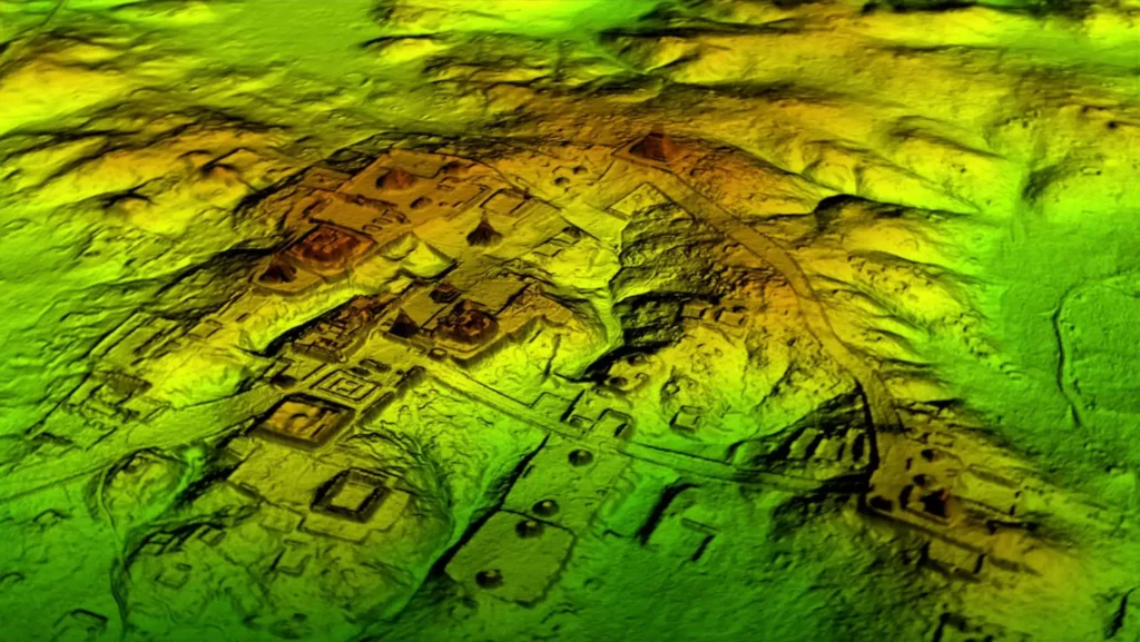
A typical archaeological LiDAR survey generates billions of data points. The Mayapán project, for example, collected “two billion data points” across 40 square kilometers (Hare et al., 2014). Manually examining this data for archaeological features would take years. Moreover, many features are subtle – a house platform might rise only 10-20 centimeters above the surrounding terrain, easily mistaken for a natural rise.
As Wang and their colleagues note, “existing optical remote sensing technologies, LiDAR point cloud processing algorithms, and deep learning methods are inadequate for the extraction and segmentation of ancient city wall sites” (Wang et al., 2024). The challenge required developing new approaches specifically tailored to archaeological features.
U-Net Semantic Segmentation
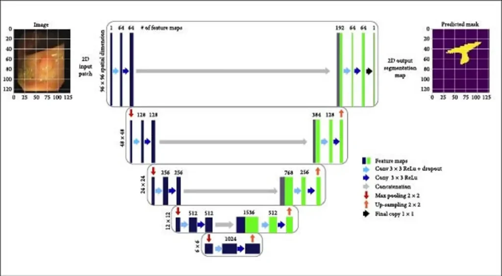
And that’s where the true power of machine learning comes in. Instead of creating piles and piles of internet slop, the teams behind these discoveries used deep learning in a precise and targeted way. They first turned to an architecture called U-Net, originally developed for biomedical image segmentation.
The first step was to process the point cloud data from airborne laser scanning into a DEM (digital elevation model). Through archaeological survey and expert interpretations, researchers obtained the distribution of ancient city walls all the sites that LiDAR was used on.
After that they used image cropping and data augmentation techniques to create a training dataset for the deep learning model. U-Net was then capable of “playing” in this virtual sandbox and I know this next sentence will be a mouthful… The researchers implemented a semantic segmentation framework specifically designed for microtopographic archaeological sites.
In layman terms – they used a type of “computer vision” system that labels every single pixel in an image both separately and in relation to each other. This enabled Wangs team to differentiate between small, naturally occurring bumps in elevation such as rock formations and parts of a building, a wall or a footpath.
The final step was to do some post-processing by using connected component analysis and removing prediction errors such as holes and noise.
Remarkable Accuracy
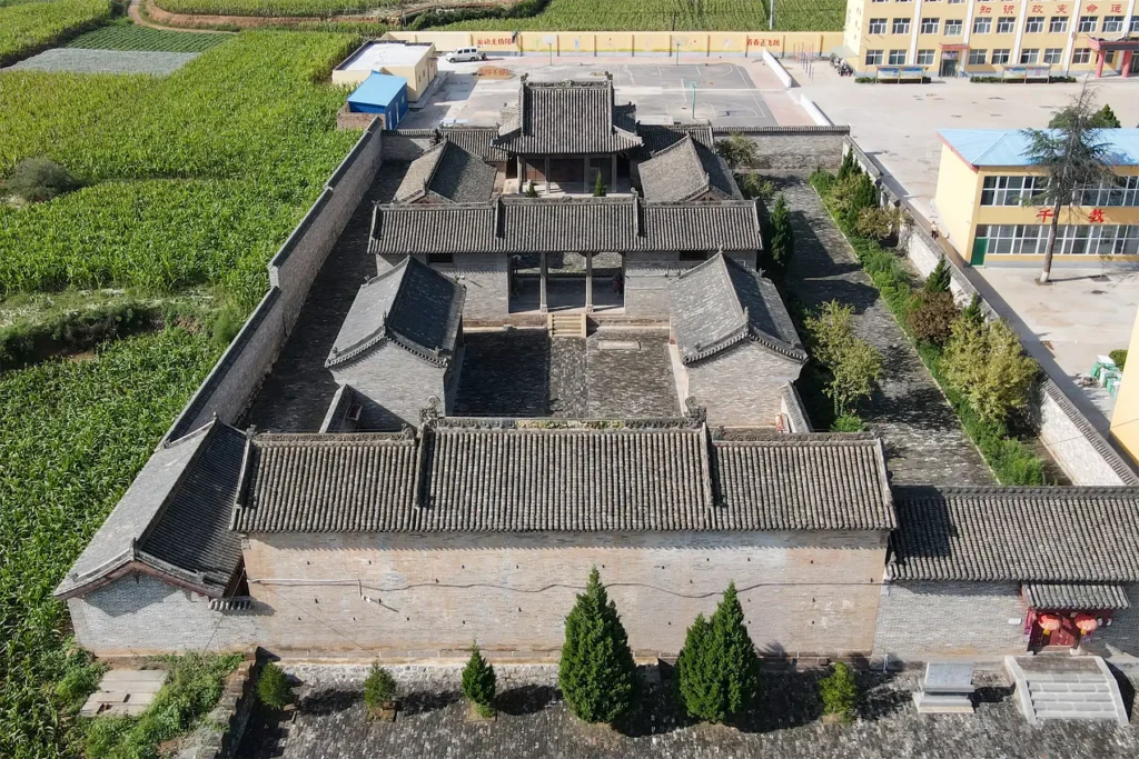
The results were extraordinary. Taking Jincheng, the capital city of the Chu kingdom, as a test case, the proposed method could “identify and extract the ancient city wall sites at the pixel level, where the evaluation metrics reach 94.12% (Precision) and 81.38% (IoU)” (Wang et al., 2024). IoU, or Intersection over Union, measures the overlap between predicted and actual features – a score above 80% is considered excellent.
Wang and their colleagues attribute that success to “improvement strategies in the dataset generation, model training, and post-processing steps.” In other words, they didn’t just apply off-the-shelf AI; they purposefully guided the machine learning algorithm in every step of the process in order to create a tool that does one thing very well – identifying ancient walls.
Now, why would they do that?
Why Ancient City Walls Are Particularly Challenging?
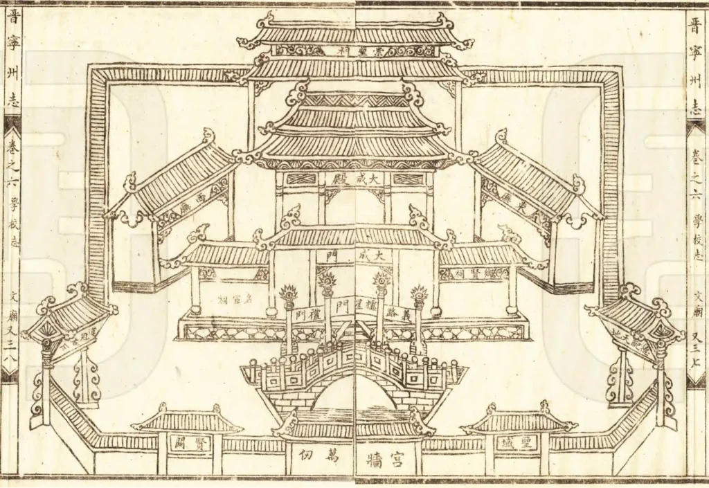
Ancient city walls present unique challenges for automated detection. As Cheng and their colleagues explained in their 2016 study of the Nanjing city wall, “the narrow at the top and wide at the base’ structure of the city wall causes no obvious elevation jumps, which makes it difficult to extract the city wall points using existing algorithms” (Cheng et al., 2016).
Most building extraction algorithms rely on detecting sharp elevation changes where a structure rises from the ground. But city walls, built with sloping sides for stability, don’t present such clean edges. They blend gradually into the surrounding terrain, requiring more sophisticated approaches.
The “horizontal detection – vertical detection” method proposed by Cheng and colleagues addressed this by specifically targeting the unique geometry of walls, but deep learning takes this further by learning to recognize walls based on thousands of examples rather than hand-coded rules.
At CNI Locates we don’t use AI to interpret our data. The backbone of all of our analysis is years of experience but there might come a day when machine learning will augment, NOT REPLACE, humans and either speed things up OR help deliver a higher resolution imaging.
Either way, technology is evolving at a rapid pace and we are doing our best to keep up.
And if you are looking for a company that specializes in Underground Utility Detection & Inspection Services in the state of Washington, look no further than CNI Locates.
You can either give us a call at – 877-826-1177 OR contact us via e-mail [email protected].
Also, in case you are interested in the other blogs from this multi-chapter series, you can follow the links below:
Part 1: How Archeologists Used LiDAR to Uncover Ancient Mysteries Hidden Beneath the Surface
Part 2: How LiDAR is Transforming Archeology with the Help of Deep Learning
Part 3: Beyond Detection: Understanding Urban Organization
Part 4: The Hidden World Beneath Our Feet – Utility Locating in Washington State
