

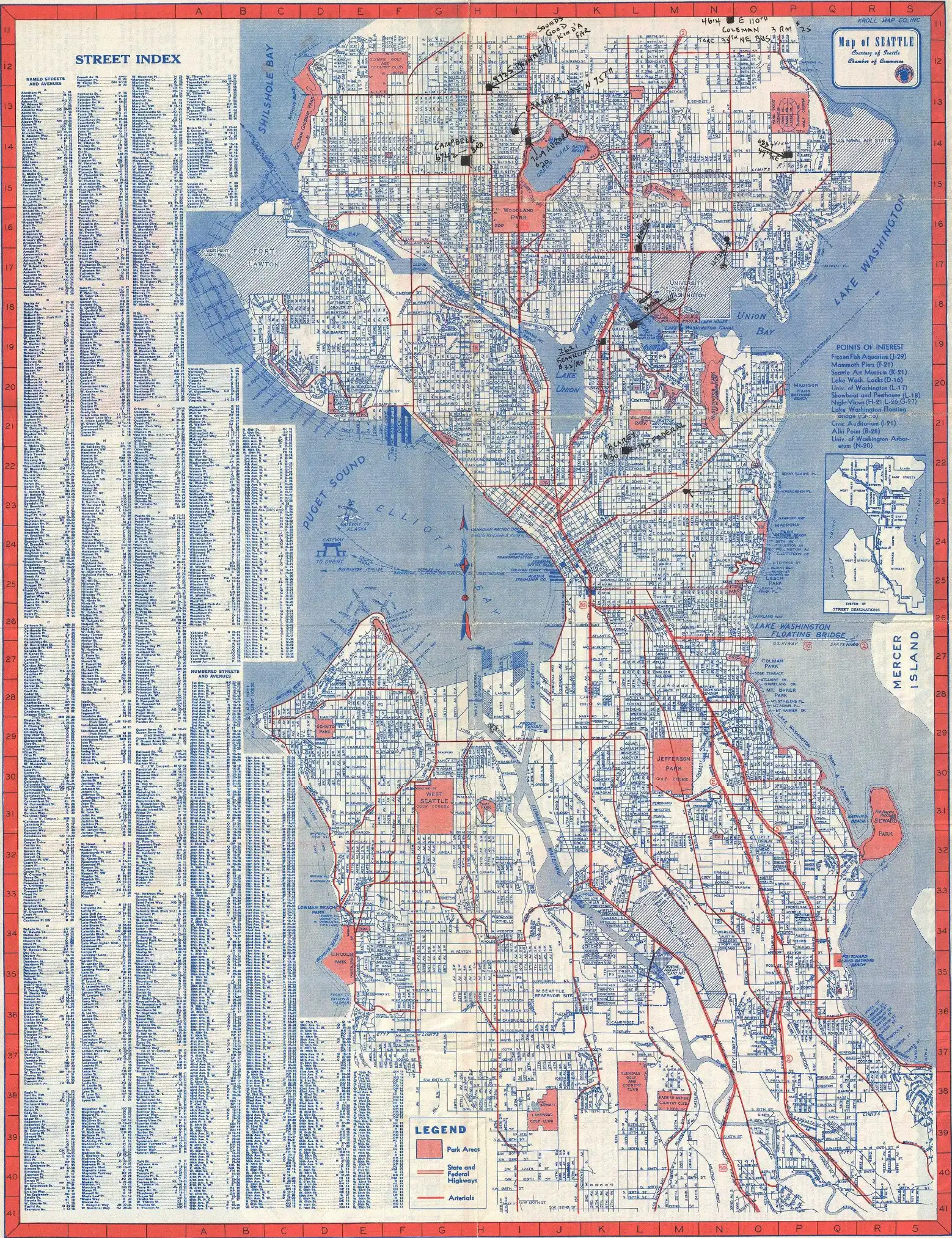
Well, if you have made it this far in this multi-chapter blog series about ancient cities & LiDAR, you probably know that we won’t be discussing the urban organization around one of our field offices in Everett, Renton, Seattle or Tacoma. And definitely not the one around Bonney Lake, which is the location of our Corporate Office.
No.
We will be talking about ancient cities and how modern-day technology, empowered by a targeted application of machine learning, is helping scientists to uncover the mysteries that are buried deep underneath the surface.
So, where we left off last time, we were discussing the steps that are taken in order to analyze and better interpret the raw data gathered by the LiDAR equipped airplanes. And we provided an example with the study that Liang Cheng and their colleagues did on the Nanjing city wall.
What’s next you would ask?
Actually, putting all of that work into historical context. For example, at Mayapán (one of the places we discussed in Chapter 1), the high-resolution data allowed researchers to address fundamental questions about urban organization:
- How did the citizens interact with the governing elites?
- How were urban and rural communities connected?
- How did all the people survive in this region?
As Hare and their colleagues explain, “We are constructing a regional database from which to study the processes of settlement growth, resource use, production activities, political organization, and sustenance” (Hare et al., 2014).
LiDAR revealed “the complex network of walls defining residential households, animal pens, open spaces, and pathways within the city” – features that structure daily life but are invisible in traditional maps. These walls “define community structure, controlling and limiting movement through the urban environment.”
Seeing Change Over Time
One of the most powerful applications of LiDAR is revealing change over time. At Mayapán, the survey identified “multiple extensive non-Postclassic settlements outside the city wall, of which many are associated with Late-Terminal Classic materials” (Hare et al., 2014). The entire survey area was occupied in the Late Classic (600-800 AD) and Terminal Classic (800-1050 AD) periods, with residential structures continuing beyond the edges of the map.
This finding proved riveting for Hare. “If we project the average Classic Period settlement density from ground-checked squares to the entire survey area, there may be 8,000 houses of Classic Period age, representing a potential population of 24,000 people outside of the area enclosed by the city wall of Mayapán.”
The Classic Period settlement pattern was dramatically different from the later Postclassic city – spread out rather than concentrated, with “extensive zones of terraformed hill platforms” representing a “pattern of low-density settlement similar to that observed for garden cities of the Classic Period.”
Now, we know all of this might sound a bit academic and it is. We tried to stay faithful to the information presented by these researchers but to simplify – what was previously thought to be the boundary of ancient settlements turned out to be at best a limited view of how some of our ancestors lived. As it turns out, they had much higher complexity in terms of structuring their societies and the way they shaped their environments.
Scanning technologies aren’t limited to just archaeology. In Part 4, we’ll explore how the same principles that allow researchers to find ancient city walls beneath jungle canopies enable utility locating companies to find buried pipelines beneath city streets – and why the parallels between these fields are closer than you might think.
For a full list of the chapters published so far, follow the links below:
Part 1: How Archeologists Used LiDAR to Uncover Ancient Mysteries Hidden Beneath the Surface
Part 2: How LiDAR is Transforming Archeology with the Help of Deep Learning
Part 3: Beyond Detection: Understanding Urban Organization
Part 4: The Hidden World Beneath Our Feet – Utility Locating in Washington State
Part 5: How Deep Learning Is Transforming Utility Locating
And in case you are looking for an experienced team of professionals to help avoid any issues before you start digging, give us a call at – 877-826-1177 OR contact us via e-mail [email protected].
