

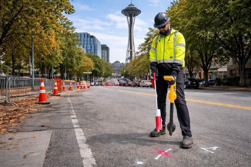
Excavation or construction work needs proper planning, which requires knowledge about the underground conditions of what lies beneath the surface. The optimal timing for utility locating should be determined during project development, as it helps identify underground utilities while reducing potential operational interruptions. Property owners and contractors must contact 811 before starting any digging in accordance with RCW 19.122 to request utility locates. The 811 service does not cover privately owned infrastructure, making private utility locating services in Washington an important consideration during the initial stages of project development. Technicians conduct site evaluations to choose detection methods because subsurface conditions show different characteristics from one location to the next.
Understanding the Role of 811 in Project Planning
The 811 system is designed to mark publicly owned utilities prior to excavation. This includes services such as municipal water, gas, and electrical distribution lines. While 811 plays a critical role in damage prevention, it is important to understand its limitations.
811 locates may not identify private utilities such as service lines, irrigation systems, or privately installed electrical feeds. These gaps can create challenges during excavation if not addressed early. The majority of projects request 811 services to obtain subsurface condition information, which they use to assess areas that public marking systems do not cover.
Why Early Scheduling Matters
The planning or pre-construction phase of a project requires utility locating to be scheduled because this task needs to be completed before excavation begins. Early scheduling enables teams to conduct thorough investigations while maintaining essential coordination and data interpretation.
Subsurface conditions can vary significantly depending on soil composition, site access, and existing infrastructure. Technicians need multiple technologies because no single locating method can detect all utilities under all conditions. The early engagement of private utility locating services in Washington enables a complete assessment of construction-related risks before work begins.
Coordinating Utility Marking Before Excavation
Once both public and private locating efforts are completed, surface markings are typically used to indicate the approximate position of underground utilities. These markings serve as a visual reference for excavation crews but should always be interpreted with caution.
A utility marking company may use standardized color codes and industry practices to represent different utility types. However, markings reflect surface interpretations of subsurface data and may be influenced by site conditions or accessibility limitations. Because of this, excavation should proceed carefully, and verification methods may still be required in sensitive areas.
The Role of Combined Technologies in Scheduling
Effective utility locating often involves the use of multiple complementary technologies. Electromagnetic locating (EM) is commonly used to trace conductive utilities, while Ground Penetrating Radar (GPR) may help identify non-conductive lines or subsurface anomalies. Additional tools such as tracer rods, sondes, and magnetic detection can assist in locating specific infrastructure depending on site conditions.
A utility locate company in Washington may evaluate the project site and determine which combination of methods is appropriate. These technologies are not standalone solutions; instead, they are used together to help improve confidence in the findings. Even with combined methods, results depend on environmental factors, utility material, and accessibility.
Integrating Locating Into Project Workflows
Utility locating is most effective when it is integrated into the overall project workflow rather than treated as a last-minute requirement. Early coordination allows project teams to align locating activities with design, permitting, and excavation schedules.
In many cases, a utility marking company in Washington may also support documentation efforts by recording surface markings or assisting with mapping deliverables when requested. The accuracy of these deliverables can vary depending on the data collection methods used and site conditions, and they should be interpreted accordingly during project planning.
Conclusion
Scheduling utility locating at the appropriate stage of a project is an important step in supporting safer and more informed excavation practices. While 811 provides a necessary starting point for identifying public utilities, it may not account for all subsurface infrastructure. Combining public locates with private investigations and using multiple complementary technologies can help improve overall visibility, depending on site conditions. Because results are influenced by environmental and technical limitations, careful planning and coordination remain essential throughout the process. For projects requiring a structured and professional approach to subsurface investigation, C-N-I Locates Ltd. provides services designed to support informed decision-making while maintaining compliance with industry standards and regulatory requirements.
