

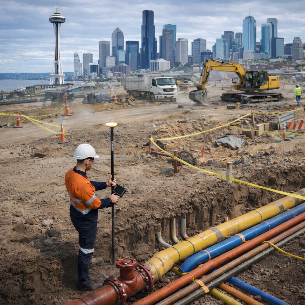
Before any digging, clearing, or excavation starts, it is important to know what is beneath the surface. Underground utilities like water lines, electrical runs, gas pipes, and communication cables are commonly mysterious, invisible, and unrecorded.
Utility mapping provides insight into the location of underground infrastructure, enabling property owners, construction workers, and engineers to use the equipment without compromising safety or productivity. In areas with heavy infrastructure, using utility mapping services in Washington is not an option; it is a necessity.
Understanding Utility Mapping
Utility mapping is a process that leverages cutting-edge detection technology to identify, locate, and document underground utilities. Such maps replace outdated and uncertain plans, leveraging accurate visual representations of hidden utilities’ types, depths, and locations to eliminate any fear when making important decisions.
Modern utility mapping has evolved far beyond marking to leverage field data alongside digital documentation, enabling information exchange among teams and improving coordination during construction.
How Utility Mapping Is Performed
There exist many ways to find subsurface structures without damaging them. A well-established technique worth mentioning is ground-penetrating radar in Washington, which works by emitting radio waves into the subsurface and receiving signals when they bounce back after hitting the target. This technique is particularly helpful when the underground utilities are not metallic or when appropriate documentation is lacking.
Electromagnetic mapping and visual inspections are employed, along with radar surveys and correlated survey data. This multi-layered approach enhances accuracy and ensures that both public and private utilities are identified before the work is conducted.
Why Utility Mapping Is So Important
Accurate utility mapping significantly reduces the risk of accidental strikes. Hitting a buried line can cause service outages, environmental damage, safety hazards, and major project delays. Mapping also supports compliance with local safety regulations and “call before you dig” requirements.
Utility mapping enhances project efficiency and safety. When the crew knows exactly where the utilities are located, they design footings, trenches, and structural elements without unwarranted design modifications, which, in the end, enhances cost control and smooth project timelines.
Public vs. Private Utility Considerations
While public utilities are typically identified through the standard notification system, private utilities are often not described. Lines that service commercial or industrial facilities or apartment complexes can be, in fact, unreachable by the public record. In such a situation, private utility locating services in Washington appear to locate all buried utilities within the property.
Without a private utility locator, every project carries some unnecessary risk, even if a public source supplies marks.
A Smarter Way to Build with Confidence
Safe construction is only guaranteed if the available information on the existing infrastructure’s location is reliable. The difference is apparent, especially when such modern projects depend on underground utility locators.
The professional services of C-N-I Locates Ltd. are delivered through verified technologies and skilled professionals. Our expertise help the client get clarity, confidence, and less ambiguity every time a project starts.
