

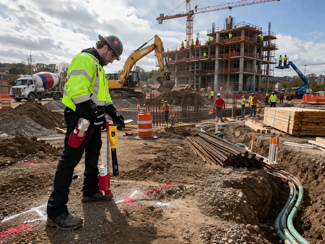
Understanding the cost of utility locating services is essential for contractors, engineers, and property owners planning excavation or construction work. Pricing can vary depending on several site-specific and technical factors, making it important to evaluate each project individually. A professional utility locate company in Washington typically assesses site conditions, utility types, and access limitations before determining the scope of work. While utility locating plays a critical role in improving subsurface visibility, it is important to recognize that results depend on field conditions and the technologies applied. In Washington State, excavation planning must also align with regulatory requirements, including contacting 811 before digging to identify public utilities. However, not all underground infrastructure may be included in public locates, which can influence both scope and cost considerations.
Site Conditions and Accessibility
One of the primary factors affecting pricing is the condition of the job site. Every utility locate service in Washington begins with an evaluation of environmental and physical variables that may influence detection methods and efficiency.
Common site-related factors include:
- Surface types such as soil, asphalt, or concrete
- Level of congestion with existing underground utilities
- Presence of structures, landscaping, or obstructions
- Accessibility to utility connection points like meters or vaults
These conditions can impact how easily utilities can be accessed and traced. For example, heavily congested corridors or restricted access areas may require additional time and alternative detection approaches. Technicians evaluate these variables before beginning work to determine the most appropriate methods, and in some cases, additional services may be recommended to improve visibility.
Type of Utilities Being Located
The type of utility being located also plays a significant role in pricing. A water line locating service in Washington may involve different techniques compared to locating electrical or communication lines, especially when dealing with non-conductive materials such as plastic pipes.
Key considerations include:
- Whether the utility is metallic or non-metallic
- Depth and installation method of the utility
- Availability of access points for signal application
- Presence of tracer wires or detectable materials
Non-conductive utilities often require supplemental methods because they do not carry an electromagnetic signal. This can influence the level of effort required and may increase the complexity of the locating process. As a result, pricing reflects the technical requirements associated with identifying different types of infrastructure.
Technology and Methods Used
Utility locating costs are also influenced by the technologies applied during the investigation. A utility locate company in Washington may use a combination of tools depending on site conditions and project requirements.
Common technologies include:
- Electromagnetic locating for conductive utilities
- Ground Penetrating Radar (GPR) for non-conductive or unknown utilities
- Magnetic detection for ferrous components
- Acoustic detection for non-conductive water lines
- Camera inspections for internal pipe conditions and locations
No single method can identify all utilities in every environment. Technicians often combine multiple technologies to improve overall visibility and confirm findings. However, each method has operational limitations influenced by soil conditions, material composition, depth, and accessibility. These variables can affect both the scope of work and the associated cost.
Project Scope and Deliverables
The scope of the project and the type of deliverables requested can also affect pricing. A standard utility locate service in Washington may include surface markings and a job summary, while more detailed projects may require additional documentation.
Expanded deliverables may include:
- Digital utility mapping using GNSS or RTK systems
- CAD or GIS-compatible data files
- KMZ or CSV mapping outputs
- Photo documentation and reporting
Mapping services are typically performed after utilities have been located and marked (if requested). The level of accuracy depends on the mapping method used and site conditions. For example, RTK mapping may provide higher positional accuracy compared to standard GPS mapping, but it may also involve additional setup and data processing.
Regulatory Requirements and Pre-Locates
Compliance with Washington State regulations is another important factor. Before excavation, property owners and contractors are required to contact 811 in accordance with RCW 19.122. While 811 helps identify public utilities, it may not include private infrastructure such as irrigation systems, private sewer laterals, or building service lines.
In many cases, a water line locating service in Washington is requested to help identify these private utilities that are not covered under public locating systems. Understanding this distinction is important when planning project scope and budgeting for additional services.
Conclusion
Utility locating costs can vary based on site conditions, utility types, technologies used, and project deliverables. Each project is unique, and pricing reflects the level of effort required to evaluate subsurface conditions and improve visibility. Because no single method can identify all utilities, technicians may use multiple technologies depending on site conditions and client approval. It is also important to understand the role of 811 and the distinction between public and private utilities when planning excavation work. By approaching each project with a clear understanding of these factors, property owners and contractors can make informed decisions. For professional support and accurate subsurface investigation, C-N-I Locates Ltd. provides services designed to assist safe planning and utility awareness.
