

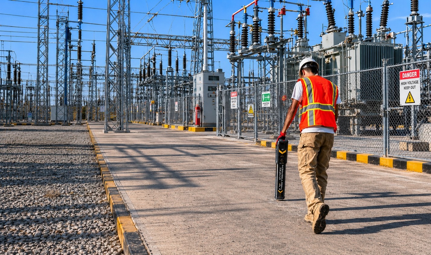
Electromagnetic utility locating plays an important role in identifying conductive underground infrastructure before excavation, drilling, directional boring, or construction activities begin. In high-voltage environments, however, locating procedures often become more complex due to electrical interference, congested corridors, grounding conditions, and the presence of multiple conductive utilities operating within close proximity.
Projects involving substations, industrial facilities, transportation corridors, utility easements, and commercial infrastructure frequently require additional planning before underground utility locating work begins. These environments may contain energized power lines, communication systems, grounding grids, metallic conduits, and parallel utility corridors that can affect signal interpretation during the locating process.
Because of these conditions, technicians commonly combine several locating methods depending on site accessibility, utility type, environmental conditions, and client requirements. Electromagnetic locating may also be supplemented with additional technologies such as Ground Penetrating Radar (GPR), magnetic detection, utility mapping, or video inspection methods when site conditions warrant additional investigation.
Why High-Voltage Areas Create Additional Locating Challenges
High-voltage infrastructure can influence conductive locating signals in several ways. Electrical interference generated by energized systems may distort electromagnetic signals, create overlapping responses, or introduce additional noise into the work area. In congested utility corridors, multiple conductive lines positioned closely together may also complicate the interpretation of current flow and signal direction.
During underground utility locating procedures, technicians often evaluate:
- Signal bleed-off from adjacent conductors
- Congested underground utility corridors
- Bonded grounding systems
- Parallel conductive infrastructure
- Limited utility access points
- Surface obstructions and restricted work zones
- Interference from energized electrical systems
- Environmental and soil conditions
These variables can influence how conductive utilities respond to transmitted locating frequencies. For this reason, locating procedures in high-voltage environments typically involve additional verification steps and field interpretation.
Typical Electromagnetic Utility Locating Procedures
Before locating begins, dispatch personnel generally review the project scope, available records, site conditions, and utility information provided by the client. Once onsite, technicians perform a walkthrough with the client to review anticipated utilities, work boundaries, safety requirements, and marking expectations.
During conductive line detection procedures, technicians may use several signal application methods depending on accessibility and utility configuration, including:
- Direct connection to accessible conductive infrastructure
- Inductive clamp coupling
- Induction-based signal application
- Passive frequency sweeps
Technicians commonly trace utilities from accessible origin points to their termination points while evaluating signal strength and current direction, where site conditions allow.
Passive frequency sweeps are also important in high-voltage environments because energized infrastructure may emit detectable electromagnetic signals without a direct transmitter application. These sweeps may help identify:
- Energized electrical lines
- Communication infrastructure
- Cathodic protection systems
- Interference from nearby conductive utilities
In many projects, technicians perform repeated verification passes across the work area to evaluate inconsistent responses, distorted signals, or overlapping utility paths.
Combining EM Locating With Additional Detection Technologies
No single locating method can identify every utility or subsurface condition in every environment. High-voltage sites often require multiple service applications to assist with interpretation and improve overall utility identification.
Ground Penetrating Radar (GPR) may be used alongside conductive line detection when nonconductive infrastructure, inaccessible utilities, or unknown subsurface anomalies are suspected. Depending on soil conditions, GPR can assist with identifying visible subsurface features that may not carry an electromagnetic signal.
When discussing ground penetrating radar utility locating, it is important to understand that radar performance can vary depending on:
- Soil composition
- Moisture content
- Reinforcement density
- Surface materials
- Utility depth
- Congested underground conditions
Technicians may also combine electromagnetic locating with:
- Magnetic detection for ferrous infrastructure
- Acoustic pipe detection for pressurized non-metallic water services
- Traceable rods or sondes for nonconductive lines
- Video camera pipe inspections for accessible conduits and pipelines
- Utility mapping technologies for digital documentation
The selected combination of technologies depends on site conditions, utility accessibility, project requirements, and client approval.
Safety Considerations in High-Voltage Environments
Safety procedures are especially important when locating utilities around energized electrical infrastructure. Prior to beginning work, technicians commonly review site-specific safety requirements, Job Hazard Analysis documentation, traffic control considerations, and PPE requirements.
Technicians also evaluate the work area for:
- Energized conductors
- Restricted access zones
- Substation grounding grids
- Overhead electrical hazards
- Wet or unstable surface conditions
- Active construction activity
When locating buried electrical infrastructure, technicians may use lower locating frequencies where practical to help reduce signal distortion and improve the interpretation of conductive utility paths.
Field markings are generally applied only after technicians’ complete signal verification procedures and evaluate the consistency of the detected utility path. Depth readings may also be collected when site conditions allow, although depth estimates remain approximate and may vary due to soil conditions, signal distortion, utility congestion, and other environmental factors.
The Role of Private Utility Locating Services
Many industrial, commercial, and institutional properties contain privately owned underground infrastructure that may not fall within the scope of public utility locating programs. In these environments, a private utility locating service in Washington may assist property owners, contractors, and facility managers with identifying privately owned conductive and nonconductive infrastructure prior to subsurface work.
Depending on the project scope, private utility locating service projects may involve:
- Buried electrical distribution lines
- Private communication systems
- Site lighting circuits
- Metallic and non-metallic water services
- Fire suppression infrastructure
- Irrigation systems
- Industrial process utilities
- Underground conduits and duct banks
Because utility ownership, accessibility, and installation conditions vary between properties, technicians typically review available records, utility appurtenances, and field conditions before selecting the most appropriate locating approach.
Site Conditions and Service Limitations
Electromagnetic locating and subsurface imaging technologies are subject to operational limitations that may affect utility detection and interpretation. Site-specific variables can influence locating performance even when multiple service applications are combined.
Examples of operational limitations may include:
- Limited access to conductive utilities
- Signal interference from energized systems
- Congested underground corridors
- Nonconductive infrastructure without tracer wire
- Excessive utility depth
- Reinforced concrete or metallic obstructions
- Environmental noise and surface interference
- Disturbed soil conditions
Ground penetrating radar utility locating applications may also be affected by high moisture content, dense reinforcement, conductive soils, and restricted scan accessibility.
Because of these factors, utility locating data should be evaluated alongside available records, engineering documents, and project-specific information before excavation or destructive work occurs.
When excavation activities are planned, project teams should also coordinate with the appropriate One Call system in accordance with RCW 19.122 requirements prior to subsurface work.
Conclusion
High-voltage utility corridors often require a more structured and methodical approach to underground utility locating due to electrical interference, congested infrastructure, and varying site conditions. Conductive line detection, passive sweeps, subsurface imaging, and supplemental locating technologies are frequently combined to support safer project planning and improve understanding of underground infrastructure before excavation activities begin.
By integrating multiple locating methods, reviewing field conditions carefully, and communicating operational limitations throughout the process, property owners and contractors can make more informed decisions when working around complex underground utility environments. For projects involving underground utility locating, private utility locating service, or ground penetrating radar utility locating, C-N-I Locates Ltd. provides utility detection and inspection services that support construction planning, excavation coordination, and subsurface infrastructure documentation throughout Washington.
