

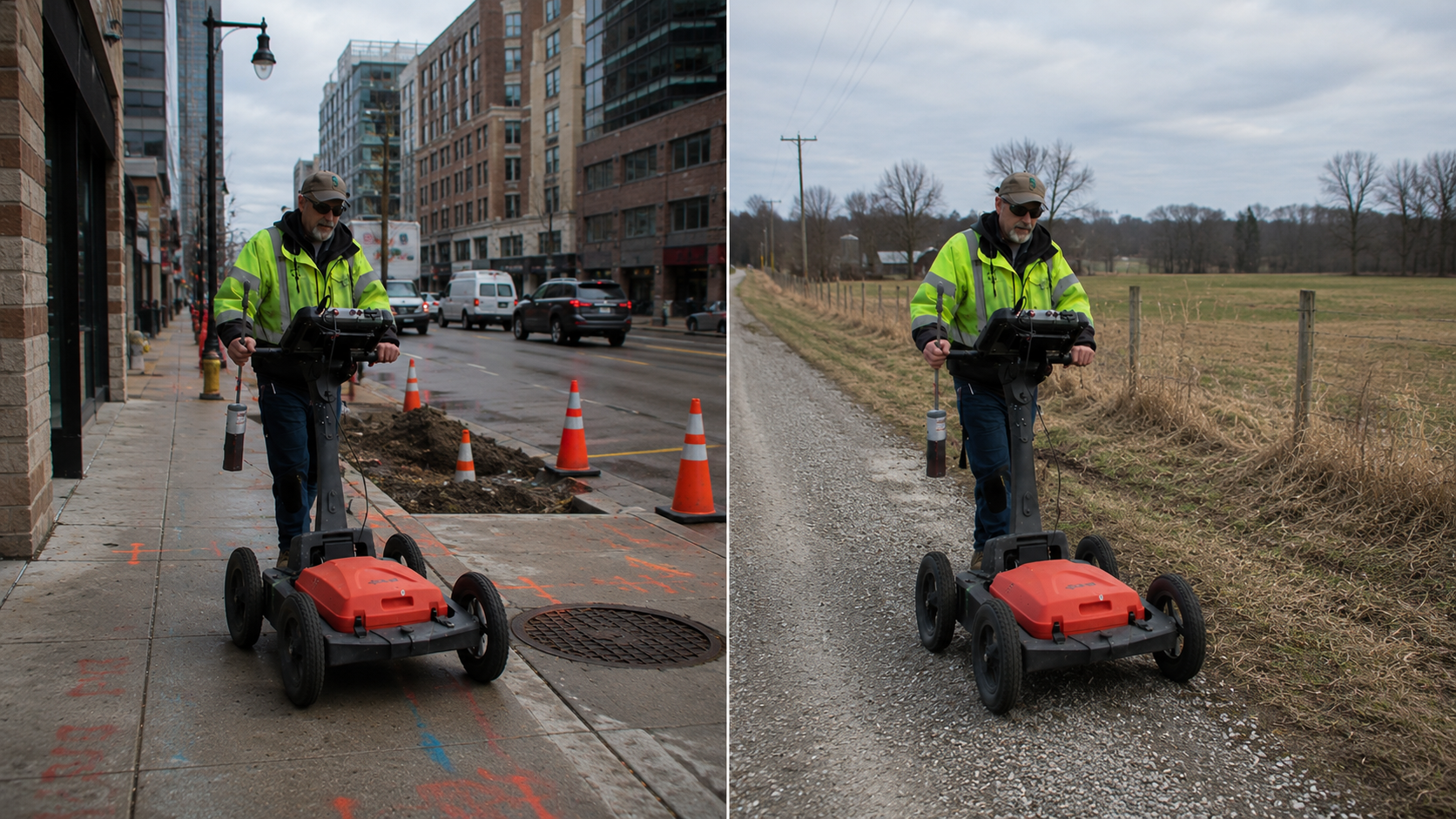
Utility locating conditions can vary significantly depending on whether a project is taking place in a densely developed urban environment or a remote rural setting. While the objective remains the same, identifying and documenting subsurface infrastructure before construction, maintenance, or planning activities, the challenges encountered in each environment are often very different. Understanding these differences helps property owners, contractors, engineers, and facility managers select appropriate locating methods and interpret findings within the context of site conditions.
Many projects requiring private utility locates involve a combination of utility locating technologies because no single detection method is effective in every situation. Site characteristics, utility types, accessibility, and environmental conditions all influence the locating process.
Challenges in Urban Environments
Urban areas typically contain a high concentration of underground infrastructure. Electrical lines, telecommunications cables, water services, storm systems, sewer lines, and private utility networks may all occupy the same corridor.
The density of underground assets can create several operational challenges:
- Congested utility corridors with multiple utilities located in close proximity.
- Metallic signal interference is affecting electromagnetic locating activities.
- Limited access due to buildings, pavement, landscaping, and traffic.
- Incomplete or outdated utility records.
- Multiple utility ownership responsibilities within a single property.
Electromagnetic utility locating remains an important tool for tracing conductive utilities in these environments. However, signal distortion, utility congestion, and overlapping infrastructure may require supplemental methods to help distinguish subsurface features.
In many urban projects, ground penetrating radar utility locating is used alongside electromagnetic locating to provide additional subsurface information. Ground Penetrating Radar (GPR) can help identify nonconductive utilities and other underground anomalies that may not produce a detectable electromagnetic signal.
Challenges in Rural Environments
Rural utility locating projects often present a different set of conditions. Infrastructure is typically more dispersed, but locating activities may involve longer distances, limited documentation, and varying terrain conditions.
Common rural challenges include:
- Limited utility records or historical documentation.
- Long utility runs extending across large properties.
- Heavily vegetated areas restrict site access.
- Agricultural, forested, or undeveloped land conditions.
- Variable soil compositions affect detection methods.
While there may be fewer utilities present, identifying specific utility paths can sometimes be more complex when records are unavailable or physical access is restricted. Utility locating professionals often begin with a site review, available documentation, and field verification methods before determining the most effective locating approach.
The Role of Ground Penetrating Radar
Ground Penetrating Radar (GPR) plays an important role in both urban and rural environments because it can provide subsurface imaging without requiring a conductive utility signal.
A GPR utility locator may be used when:
- Utility materials are non-metallic.
- Utility location is unknown.
- Site records are incomplete.
- Additional subsurface verification is required.
- Potential underground structures or anomalies need evaluation.
However, GPR performance depends on environmental conditions. Soil composition, moisture content, depth, surface conditions, and subsurface complexity can all influence the quality of radar data. As a result, findings are interpreted within the context of site-specific operational limitations.
Urban projects may use a GPR utility locator to evaluate crowded underground corridors, while rural projects may use the technology to investigate undocumented utility routes across larger properties.
Why Multiple Technologies Are Often Necessary
Utility locating is rarely a one-method process. Experienced utility locating professionals frequently combine technologies to improve the understanding of subsurface conditions.
Examples include:
- Electromagnetic locating for conductive utility tracing.
- Ground Penetrating Radar for subsurface imaging.
- Digital utility mapping for documentation and record development.
- Acoustic detection methods for plastic water pipes.
This integrated approach helps provide a more complete understanding of underground conditions while recognizing the technical limitations associated with each locating method.
Conclusion
Whether a project is located in a busy metropolitan area or a remote rural property, utility locating conditions are influenced by site-specific factors, utility types, accessibility, environmental conditions, and available records. Successful projects often depend on selecting appropriate detection technologies and understanding the operational limitations associated with each method. For projects requiring private utility locates in Washington or ground penetrating radar utility locating, working with experienced utility locating professionals can help support informed planning and safer project execution. C-N-I Locates Ltd. provides utility locating, subsurface imaging, utility mapping, and inspection services to help clients better understand underground infrastructure conditions.
