

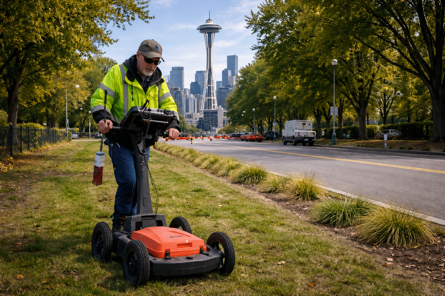
Understanding subsurface conditions is a critical part of excavation planning and utility awareness. Technologies such as ground penetrating radar are commonly used to locate underground utilities and hidden objects that need identification before excavation work commences.
The tools become effective only when users operate the equipment and use their data interpretation skills. Excavation work in Washington State requires compliance with RCW 19.122, which mandates 811 contact before any work begins on underground areas. The 811 service handles public utility issues, but it does not cover private infrastructure. As a result, additional investigation methods are necessary because construction and excavation activities require improved subsurface visibility to minimize risks.
Understanding What GPR Data Represents
Ground Penetrating Radar works by transmitting electromagnetic signals into the ground and recording the reflections that occur when those signals encounter changes in material. These reflections can indicate the presence of utilities, voids, or other subsurface features. A GPR utility locator uses this data to assess underground conditions, but the information collected is not a direct visual image of buried infrastructure. Instead, it is a series of signal responses that require interpretation.
Subsurface conditions such as soil composition, moisture levels, and the presence of debris can all influence how signals behave. Because of this, GPR data should be viewed as an interpretive tool rather than a definitive answer. The accuracy and usefulness of the results depend on both the quality of the data collected and the experience of the technician reviewing it.
Limitations of Automated or Surface-Level Analysis
GPR equipment lacks the capability to automatically detect and identify utility lines. The signal responses require proper interpretation because the signals will either be misinterpreted or completely missed without it. GPR services require this particular aspect because different site conditions exist between urban areas, suburban areas, and undeveloped areas.
For example, overlapping signals or interference from nearby objects may create complex data patterns. In some cases, non-utility features such as rocks or soil disturbances may appear similar to buried utilities. These challenges highlight the importance of careful analysis and reinforce that results depend on site conditions, material types, and accessibility.
It is also important to recognize that GPR has limitations in certain environments, including areas with high clay content or excessive moisture, which can reduce signal penetration and clarity.
The Importance of Human Interpretation
The role of human interpretation is essential in distinguishing meaningful data from background noise. A trained technician evaluates signal strength, depth estimations, and pattern consistency to determine whether a response may indicate a utility or another subsurface feature. When working with ground penetrating radar, this level of analysis helps improve the overall reliability of findings.
Interpretation also involves understanding how different materials respond to radar signals. Metallic utilities, non-conductive pipes, and voids all produce different types of reflections. Recognizing these variations requires experience and an understanding of both the technology and the environment in which it is used.
However, even with skilled interpretation, it is important to acknowledge that no method can guarantee complete detection or exact depth information. Depth estimates may vary depending on calibration, soil conditions, and other environmental factors.
Combining GPR with Other Technologies
To improve confidence in subsurface findings, technicians often combine multiple locating methods. A GPR utility locator may be used alongside electromagnetic locating, magnetic detection, or other techniques, depending on the site conditions and project requirements.
Each technology has its own strengths and limitations. Electromagnetic locating is effective for conductive utilities, while GPR can help identify non-conductive materials and subsurface anomalies. By using these methods together, technicians can cross-reference findings and reduce uncertainty.
This combined approach is particularly useful in complex environments where a single method may not provide sufficient clarity. It also helps address the limitations of each technology and supports more informed decision-making before excavation begins.
Practical Considerations for Project Planning
When planning excavation or construction work, it is important to consider both the capabilities and limitations of subsurface investigation methods. Utilizing GPR services in Washington can assist in identifying potential underground features, but results should always be evaluated within the context of site-specific conditions.
Property owners and contractors should also verify whether utilities are public or private. Since 811 locates may not include private infrastructure such as service lines or sewer laterals, additional locating services may be necessary to gain a more complete understanding of the site.
Travel considerations may also apply depending on the project location. Services are available throughout Washington, and travel time is typically billed from the nearest field office, with mileage charges applicable for extended distances.
Conclusion
GPR technology plays an important role in subsurface investigation, but its effectiveness depends heavily on human interpretation and proper application. Tools such as GPR ground penetrating radar provide valuable data, yet that data must be carefully analyzed to account for site conditions, material variations, and environmental limitations. Combining multiple technologies can further improve visibility and help confirm findings, especially in complex or high-risk areas. Following proper procedures, including contacting 811 in accordance with RCW 19.122, is essential for safe excavation practices. For projects requiring a professional and methodical approach to subsurface investigation, C-N-I Locates Ltd. provides services designed to support informed decision-making while acknowledging the limitations inherent in all locating technologies.
