

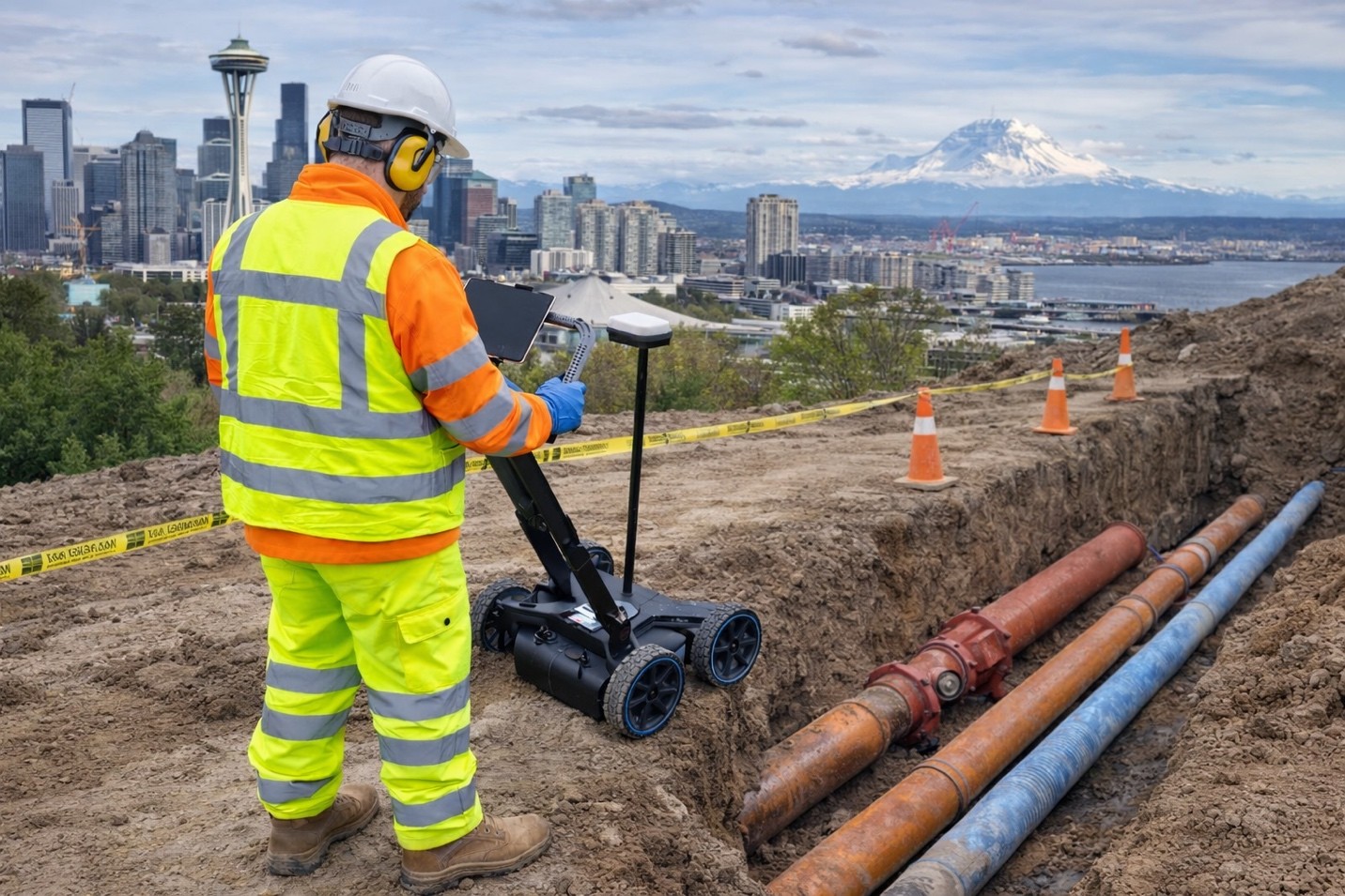
Locating underground utilities is never a one-size-fits-all kind of job. Some projects are simple and, therefore, easy to carry out, while others are complex and quite difficult. Difficult locates, like non-metallic pipes, abandoned utilities, or an underground corridor full of utilities, require more than just standard tools. They call for experience, problem-solving abilities, and a considerable amount of knowledge about construction practices and utility behavior.
Understanding What Makes Some Locations Difficult
The challenges of underground utility locating often come from hidden or unknown variables. A pipe that is plastic or non-conductive cannot be traced with a standard electromagnetic tool. Sites that are poorly documented or utilities that have been there for several decades create graduation to a level of uncertainty.
The environment also sets a problematic condition. Overlapping utilities may exist in dense urban areas, and certain underground conditions may also pose difficulties for scanners to pass through dry or wet rocky soil. With these, the chances of missing something important increase, leaving possibilities for the site to be delayed, damaged, or vulnerable to hazards.
Tools That Help Navigate Challenges
Technology plays a large role in alleviating some of the burden in tough locations. Often used methods include ground-penetrating radar scanning, which sends signals through the earth to detect variations in subsurface materials to assist in locating plastic pipes or old utilities that don’t conduct signals.
CCTV pipe inspection also provides an inside view of sewer and drain lines. This confirms alignment, blockage, or structural problems that would otherwise remain unnoticed. Helpful in resolving cross-bores and uncertain utility routes, video inspection is extremely useful.
Another intelligent approach is subsurface utility mapping that merges historical and present scans, utility records, and surface markings to generate an intricate map of the underworld. This stage is an absolute must in complicated projects and leads to better planning and safer digging.
The Value of Construction Knowledge
Knowing the evolution of construction standards and utility practices throughout history forms one of the above-ground parts in successful locates. Various regions and times tend to follow different installation patterns.
For example, an older residential area of town may have utilities buried at depths or along routes different from the current approved standards. With such knowledge, the locator makes better decisions on where to scan and how.
Working Together and Learning From Each Other
A good locator does not work in isolation-they question surveyors, engineers, contractors, even other locators. The results of questioning and observing what happens after a locate (especially when excavation starts) constitute some of the most useful feedback for improving future work.
It’s also beneficial to use a system for documenting all finds with photos, sketches, GPS tags, etc., so others down the line have good reference information to make safer decisions in the field.
C-N-I Locates: Helping You Handle the Toughest Locates
For the difficult utility locates across Oregon and Washington, C-N-I Locates brings in the experience, technology, and thorough understanding of field conditions. From CCTV pipe inspection to ground penetrating radar scanning and subsurface utility mapping, our services help reduce the elements of guesswork and increase site safety.
