

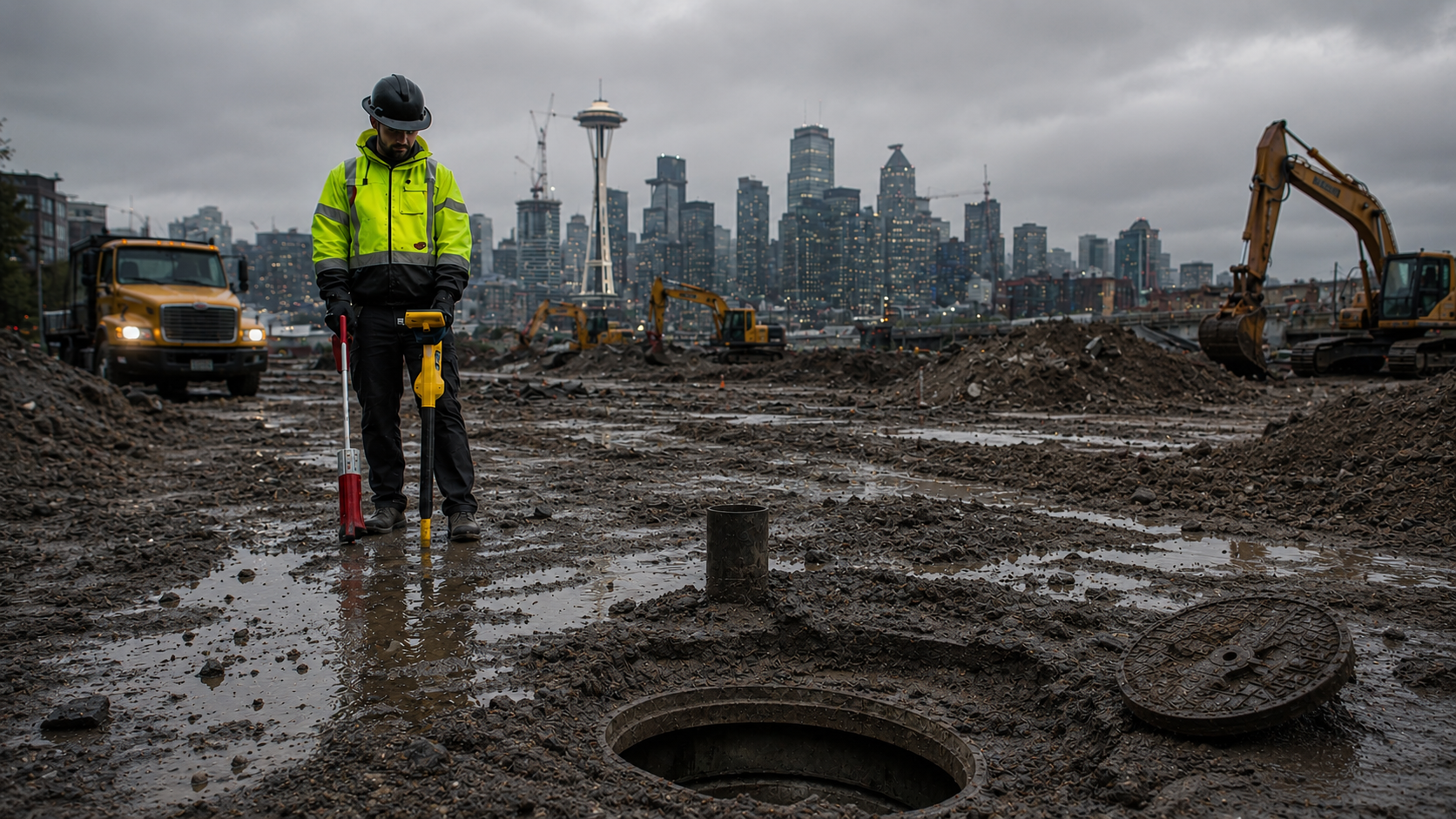
Weather conditions can significantly influence the performance of subsurface utility detection methods, site accessibility, signal behavior, and data interpretation. Whether technicians are performing electromagnetic utility locating, concrete scanning, acoustic pipe detection, or utility mapping, changing environmental conditions can introduce operational limitations that affect locating workflows and field observations. Understanding how weather interacts with locating technologies helps contractors, engineers, and property owners better plan excavation and construction activities.
In many cases, technicians performing private utility locates in Washington evaluate weather conditions before arriving on-site because environmental factors can influence both equipment response and site safety. Heavy rain, frozen ground, standing water, soil saturation, snow cover, and temperature fluctuations may all affect the ability to trace, verify, or map underground infrastructure.
Soil Moisture and Electromagnetic Utility Locating
Electromagnetic utility locating depends on transmitting and receiving electromagnetic radio frequency signals through conductive utilities. Weather conditions can alter how those signals travel through the ground and surrounding infrastructure.
Wet soil conditions may improve grounding during direct connection locating procedures, but excessive moisture can also contribute to signal bleed-off, distorted readings, or interference in congested utility corridors. Dry soil conditions may reduce grounding efficiency, particularly when using induction-based locating methods.
During private utility locates, technicians may encounter additional challenges when utilities:
- Lack accessible connection points
- Are deeply buried
- Have deteriorated tracer wires
- Run through saturated or rocky soil conditions
- Exist near multiple conductive utilities
Field crews commonly perform:
- Passive frequency sweeps
- Inductive sweeps
- Signal verification checks
- Peak and null response comparisons
These procedures help evaluate signal behavior under changing environmental conditions.
How Rain and Surface Conditions Affect GPR Operations
Ground Penetrating Radar (GPR) performance is highly dependent on-site conditions, particularly soil composition and moisture content. Unlike conductive locating methods, GPR works by transmitting radar signals into the ground and analyzing reflected subsurface responses.
When performing ground penetrating radar utility locating, technicians evaluate whether soil conditions are favorable for radar signal penetration and reflection clarity. Excessive moisture, clay-rich soils, reinforced surfaces, or highly conductive ground conditions can reduce radar penetration depth and limit subsurface visibility.
Common weather-related challenges affecting GPR include:
- Saturated soil reduces radar penetration
- Standing water is affecting antenna coupling
- Snow or ice limiting surface accessibility
- Reinforcement congestion causes signal interference
- Temperature-related surface moisture changes
A GPR utility locator may adjust:
- Gain settings
- Depth ranges
- Scan spacing
- Antenna selection
- Scan direction
- Dielectric settings
to improve data collection under changing field conditions.
Technicians may also combine GPR with electromagnetic locating methods when attempting to identify both conductive and non-conductive utilities. Depending on the project scope and client approval, supplemental technologies such as magnetic detection, acoustic pipe detection, or traceable inserts may also be recommended to help overcome site-specific limitations.
Frozen Ground and Winter Utility Locating Challenges
Cold weather conditions can create additional operational limitations for utility locating projects. Frozen surfaces may reduce the effectiveness of certain grounding techniques used during conductive locating procedures. Snow accumulation can also conceal utility access points such as valves, pedestals, manholes, or utility markers.
For crews performing private utility locates, winter conditions may require:
- Additional site preparation
- Access verification
- Snow removal around utility appurtenances
- Modified marking procedures
- Additional verification scans
Ground frost can also influence acoustic methods used during leak detection or non-metallic pipe tracing. Acoustic vibrations may travel differently through frozen soil, making interpretation more difficult in some environments.
Wind, Noise, and Acoustic Detection Limitations
Environmental noise can influence acoustic leak detection and acoustic pipe detection services. Wind, traffic, heavy equipment, aircraft activity, or nearby construction operations may interfere with listening equipment used to identify leak signatures or transmitted pipe vibrations.
Technicians performing acoustic investigations often evaluate:
- Site noise levels
- Surface material conditions
- Pipe depth
- Pipe material
- Access point availability
before beginning the detection process.
In some cases, weather-related site conditions may require combining multiple locating technologies to improve verification efforts. For example:
- Acoustic pipe detection may be combined with electromagnetic locating
- GPR may assist with identifying nearby subsurface infrastructure
- Magnetic detection may help locate buried ferrous components
No single locating method performs identically across all environmental conditions, which is why technicians frequently adapt workflows based on field observations and site accessibility.
Utility Mapping and Weather Considerations
Weather can also affect digital utility mapping operations. Satellite coverage, heavy tree canopy, moisture, storm conditions, and site accessibility may influence GNSS or RTK mapping workflows.
When utility mapping is requested following ground penetrating radar utility locating or electromagnetic locating procedures, technicians may collect:
- Utility alignment data
- Surface appurtenance locations
- Approximate depth readings
- Coordinate points for mapped infrastructure
Mapping accuracy depends on:
- Satellite visibility
- Environmental interference
- Site obstructions
- Ground conditions
- Data collection methods used
Orthomosaic drone imagery operations may also be affected by rain, wind, or restricted flight conditions.
Conclusion
Weather conditions play a major role in utility locating operations, influencing equipment response, accessibility, signal behavior, and interpretation of subsurface conditions. Environmental variables can affect both electromagnetic locating and subsurface imaging technologies, particularly during projects involving ground penetrating radar utility locating, or acoustic detection methods. Because of these operational limitations, technicians often combine multiple service applications to assist with locating conductive and non-conductive infrastructure under changing site conditions. For projects involving utility detection, mapping, concrete scanning, or subsurface investigations throughout Washington, C-N-I Locates Ltd. provides utility locating and inspection services that support contractors, engineers, and property owners with field-based subsurface information.
