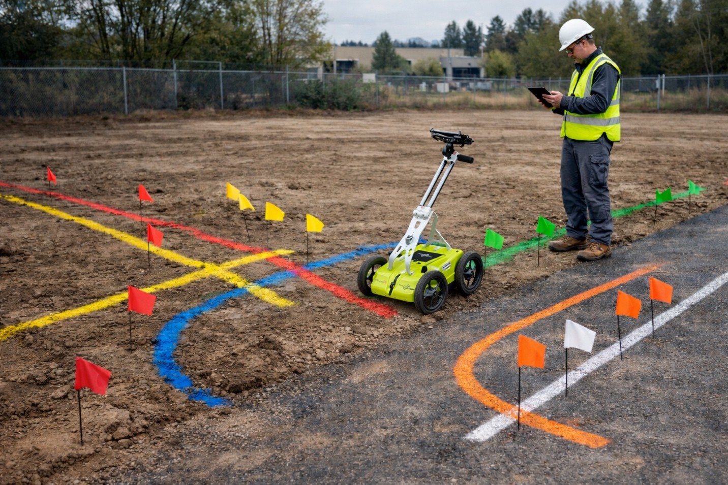
Before starting utility locating work, site preparation is a crucial step to safeguard underground infrastructure and achieve accurate results. A Utility locating service in Washington not only enables teams to work efficiently, but also minimizes the risk of delays and misunderstandings.
Follow the easy preparation steps to ensure that locating and inspection activities yield clear, usable results for planning purposes.
Understand the Purpose of Utility Locating
Utility locating is a technique that reveals the presence and approximate location of underground utilities. Providing this information makes safer choices in excavation, drilling, and even design.
However, one must keep in mind that locating does not indicate depth with complete confidence and include any repairs or installations. Reliable data is what the next actions are based on.
Gather Existing Site Information
Before scheduling the locating work, make sure you gather all available drawings, utility maps, and completed plans. They may not be the best, and may even be old, but still, they will give you some helpful points to refer to.
If you share this information with the locating professionals, they will be able to compare the documented utilities with what they have found in the field and identify areas that may need more attention.
Provide Clear and Safe Site Access
Clear access is essential for accurate detection. Clear debris, temporary objects, or stored items blocking survey areas. Gates, locked entrances, and restricted areas must be accessible on the day of service.
Free passage permits the detection teams involved in private utility locating services in Washington to complete their work without interference.
Mark Known Features Above Ground
It is important to identify visible site utilities in advance, including the valve boxes, meters, clean outs, and electrical panels. Temporary markings and notes can be employed to help connect surface features to underground systems. This procedure increases efficiency by eliminating the need to verify visible infrastructure features.
Communicate Project Scope and Concerns
Explain the planned work and areas of concern before the process takes place. If locators know the available excavation zones, future construction footprints, or sensitive areas, sharing this information with them will help them focus on the work area Clear communication helps better align project goal(s) with locating tools.
Allow Time for Proper Scanning
Some projects require cutting-edge methods, such as ground-penetrating radar services in Washington, to evaluate areas with limited information or complex layouts. These methods may slightly stretch the job schedule due to potential conflicts between surface conditions and materials. Providing ample time ensures accurate data collection in a manner consistent with accepted practices.
Be Aware of Environmental Limitations
Soil conditions, moisture status, presence of partial covers, and access conditions may affect signal capture results. Very dense materials, clay, water, and metal may partially or completely interfere with signal clarity. Such limitations should be known to form a credible set of expectations and facilitate informed planning.
Planning Starts with Preparation
Site preparation is used to achieve quality locating outcomes and work within a safe environment. C-N-I Locates Ltd. locates and inspects underground utilities, working with customers to provide information that supports informed decision-making. Preliminary site preparations ensure that the locating and inspection works provide valuable information for projects.