

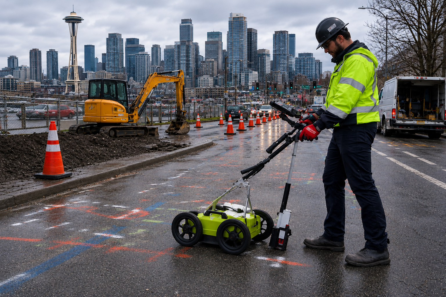
Ground Penetrating Radar (GPR) serves as a common tool that enables enhanced underground detection before teams begin their excavation, construction, or inspection activities. The soil composition across Washington State sites shows wide variation, which makes it essential to understand how soil characteristics affect GPR detection abilities for accurate data analysis. The process of GPR scanning works best when combined with subsurface investigations to discover hidden features beneath the surface, but its success depends on various environmental and material conditions. The underground conditions show various patterns that require technicians to conduct thorough site assessments before they can choose the correct methods for creating secure planning systems and decision support tools.
What Ground Penetrating Radar (GPR) Does
Ground Penetrating Radar is a non-destructive subsurface imaging method that transmits electromagnetic signals into the ground or concrete and records reflections from buried objects or changes in material properties. It can assist in identifying:
- Non-conductive utilities such as plastic pipes
- Voids or subsurface anomalies
- Reinforcement elements within concrete
- Buried infrastructure without tracer wires
Unlike electromagnetic locating, GPR does not rely on conductive materials, which makes it useful in situations where utilities cannot carry a signal. However, results depend heavily on how radar signals interact with surrounding materials.
How Soil Composition Influences GPR Performance
The performance of ground penetrating radar systems in field operations depends on the specific soil type, which acts as a crucial factor. The different soil compositions establish two effects that determine the ability of signals to penetrate and their resulting clarity.
Radar signals in Washington areas with clay-rich soils are rapidly absorbed by these soils. The absorption of radar signals leads to two consequences, which include reduced investigation depth and increased difficulty in identifying subsurface structures. The sandy and dry soil conditions enable improved signal penetration, which results in better detection of underground materials.
Moisture content also plays a major role. Wet soils can increase signal attenuation, while dry conditions may improve performance. In areas where soil conditions vary across the site, results may not be consistent throughout the entire work area. For this reason, technicians using GPR services must continuously assess soil conditions and adjust their approach as needed.
Environmental and Site Condition Limitations
In addition to soil composition, several environmental and site-specific factors can influence GPR results:
- High moisture levels or saturated ground conditions
- Dense or highly compacted soils
- Mixed fill materials or disturbed ground
- Presence of reinforced concrete or metal interference
- Limited access to certain areas of the site
These conditions can affect how radar waves travel and reflect, which in turn impacts how clearly subsurface features can be interpreted. Because of these variables, GPR results may vary even within a single project area.
When it comes to GPR scanning concrete, factors such as slab thickness, reinforcement density, and material composition can also influence imaging clarity. Technicians must calibrate equipment and interpret data based on these conditions to provide useful information.
Why GPR Is Often Used with Other Technologies
No single detection method can identify all subsurface conditions in every environment. GPR is often used alongside other technologies to improve overall visibility and confirm findings.
Common complementary methods include:
- Electromagnetic locating for conductive utilities
- Magnetic detection for ferrous objects
- Acoustic detection for pressurized water lines
- Video camera inspections for internal pipe verification
By combining these approaches, technicians can work around limitations that may affect one specific method. A GPR utility locator in Washington may use multiple technologies on the same project to support a more complete understanding of subsurface conditions, depending on site requirements and client approval.
Understanding Depth and Interpretation Considerations
GPR can provide depth estimates based on signal response and material properties. However, these estimates are influenced by factors such as soil composition, dielectric properties, and signal distortion.
Depth readings are considered approximate and may vary depending on site conditions. Changes in soil density, moisture, or material layering can affect how accurately depth can be interpreted. Because of this, GPR data is typically reviewed alongside field observations and, when available, existing records or drawings.
Technicians performing GPR services in Washington evaluate these variables carefully to provide context for the findings, ensuring that expectations remain aligned with real-world conditions.
Compliance and Safe Excavation Practices
Before any excavation or subsurface work begins, Washington State law requires contacting 811 to request public utility locates. It is important to understand that 811 services typically identify public utilities and may not include privately owned infrastructure such as service lines, irrigation systems, or private sewer laterals.
When utility ownership is unclear, property owners and contractors should verify whether additional locating services are required. This helps reduce the risk of unexpected utility conflicts and supports safer excavation planning in accordance with RCW 19.122.
Conclusion
Soil conditions play a significant role in how Ground Penetrating Radar performs in real-world environments. The way signals travel through soil depends on both soil composition and water levels, and environmental factors which affect how well signals penetrate, how clearly they appear, and how experts interpret the data. The primary advantages of GPR emerge when this technology operates as a component of an integrated underground exploration system, which combines various detection methods.
Recognizing these restrictions enables proper result interpretation, which leads to the suitable application of findings during excavation work and planning stages. The process of site evaluation helps you determine which methods will work best for GPR scanning to create secure choices based on accurate information. C-N-I Locates Ltd. offers professional utility locating and inspection services, which help contractors, engineers, and property owners throughout Washington State to obtain detailed subsurface data for their projects.
