

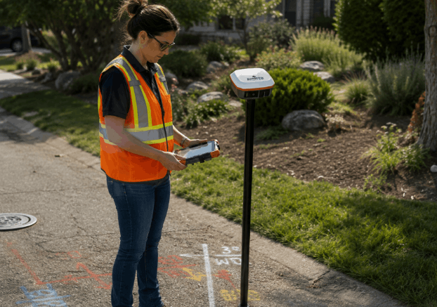
Most clients plan for a locate, expecting to see paint markings and flags. However, they discover that the most valuable information is gathered during the process itself. During a utility locate, the documentation produced helps plan and coordinate the site well into the future. Whether you need excavation planning, facility upgrades, construction preparations, or underground utility mapping, knowing the expected deliverables will help define your project needs.
Surface Markings and Utility Identification Records
Field markings remain among the first deliverables clients see in a utility locate. Depending on the conditions at the site and client preference, the markings can be made using:
- Paint markings
- Flags
- Whiskers
- Stakes
- Surface markers approved by the client
The markings will indicate the approximate direction of the discovered utilities. That is why documentation on how the markings were applied, the types of utilities found, and the extent of the work area matters.
Utility Maps and Spatial Data Deliverables
Some projects need more than just markings on the ground. For large-scale commercial sites, municipalities, industrial projects, and other infrastructure-related works, requests may arise for digital records that can be integrated into project planning tools and documents. Projects involving Utility mapping services in Washington include deliveries like:
- GNSS coordinates
- RTK data sets
- Utility maps data
- CAD delivery
- GIS-compatible data
- KMZ files
- Utility layer data
The importance of the records lies in their availability even after the markings fade due to traffic and other factors.
Utility Locate Reports and Investigation Summaries
Many clients require documentation describing the services completed and the information obtained during the investigation.
A report can contain (depending on project needs):
- Services completed
- Technologies used
- Boundaries of investigation
- Types of utilities
- Field observations
- Conditions encountered
- Supplementary approaches used during the
- Limitations
Reporting needs vary depending on project complexity and the client’s expectations set before deployment.
Limitation Documentation Forms Part of the Deliverable Package
Professional utility locating includes documenting findings as well as operational limitations encountered during field activities.
Some of these might include:
- Lack of access to utilities
- Interference with signals
- Overcrowding of utilities
- Surface restrictions
- Environmental issues
- Material limitations of utilities
- Problems with the depth of utilities
- Incompleteness of records on the site
Recording these will help clients understand how the field’s limitations affected the assessment process and where additional services will be necessary when project requirements change.
Limitations are an important part of risk management and project management.
Client Close-Out Reviews and Findings Discussions
Marking is not the endpoint of the delivery process. The technicians usually go through the findings with the client before leaving the location. Some of the things that may be discussed include:
- Utilities located
- Locations where limitations impacted the findings
- Other technology options to aid future investigations
- Documentation delivered alongside the project
- Record-keeping recommendations
This is done to ensure clients understand both the information gathered and how certain conditions affected the project’s completion. Effective communication is one of the most important deliveries for a locate operation.
Administrative and Project Documentation
Project closure often produces additional documentation beyond technical deliverables. Depending on the requested deliverables, clients will get:
- Job descriptions
- Invoices
- Service documentation
- Photographs
- Written reports
- Digital utility files
- Maps
- Documentation for projects
Such documentation creates a permanent record that can assist with planning, property transactions, infrastructure renewal, and contractor collaboration.
A project involving mapping underground utilities can generate several types of documents needed to properly manage information about subsurface infrastructure over time and across many teams.
A professional utility locate offers much more than just paint marks on the surface. Processes such as surface location, digital map files, photographs, reports, documentation of limitations, and communications with the client help better understand what is happening in the ground and what information is available about the project. Through detailed documentation practices and field-based investigation methods, CNI Locates LTD provides utility detection information, with an understanding of the limitations inherent to every project.
