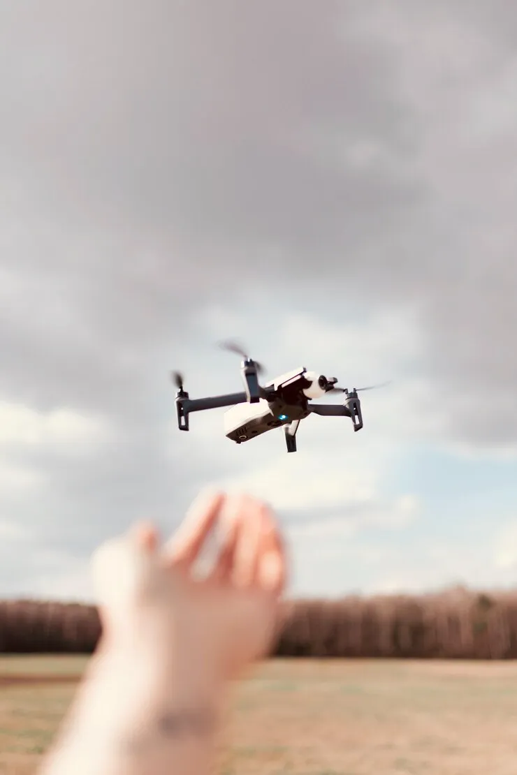
In order to keep up with ever changing utility detection technologies, companies always look for innovative tools to help them with efficiency, speed and the accuracy of reports they provide to their customers. One of the newest trends is using aerial drone systems alongside GPR.
In this post we will try to outline some of the limitations, dispel the misconceptions and highlight the strong sides of these technologies when used in tandem.
It is important to note that CNI Locates Ltd. does not utilize drones carrying ground penetrating radar systems.
The drones’ function is to aid in creating maps of underground utilities and offers an aerial perspective of the entire area.
Ground penetrating radar is employed for identifying and locating utilities only.
Using both of them in tandem provides the benefits of subsurface precision and an updated aerial map.
How Ground Penetrating Radar Imaging Works
Ground penetrating radar imaging (GPR) uses pulses that image the subsurface. It detects reflective signals, such as subsurface utilities, a change in the geometric pattern, or perhaps a buried object, echoing the signal back with the corresponding quantitative distribution of the image or hyperbola.
A ground penetrating radar system used in a real utility locating scenario benefits from:
- An antenna (allows to adjust the frequency for depth or resolution)
- A control unit with advanced processing software
- Skilled interpretation by trained GPR technicians
Typically, these systems are transported on a wheeled cart or on a small vehicle, which means direct contact with the ground for better data acquisition. This means that there are certain restrictions when it comes to maneuvering through tight spaces.
The lack of contact with the ground is the main reason why drones are not particularly well-suited for ground-penetrating radar scanning. The integration of GPR within drone units is rapidly improving, and we are eager to see how that combination will develop in the future.
Where Drone Technology Fits In
What drones lack in sub-surface imaging; they make up for in versatility. Some of their pros are:
- High-resolution aerial imagery
- Photogrammetry and 3D modeling of sites
- Planning overlays for utility mapping
- The ability to survey difficult or dangerous field areas
- Quick assessment of the site before GPR scanning
Drones provide large-scale operational awareness, while GPR reveals what lurks under the surface. It is a jungle out there after all.
Together, these technologies:
- Reduce the manual time walking large sites
- Improve safety by keeping crews out of high-risk zones
- Help identify priorities and plan scanning routes in a streamlined way
- Improve the final utility map by merging surface and subsurface-level intelligence
Real-World Applications
Using drones alongside GPR services benefits a wide range of clients:
|
Industry |
Drone Contribution |
GPR Contribution |
|
Commercial Construction |
Site planning views |
Locating utilities before excavation |
|
Municipal Infrastructure |
Mapping roads & ROWs |
Verifying pipe/cable location & depth |
|
Industrial Facilities |
Access-restricted imagery |
Avoiding costly downtime from hits |
|
Environmental Sites |
Terrain modeling |
Identifying unknown buried objects |
By pairing these tools strategically, our clients are better equipped to make informed decisions that allow for the project to be completed in a timely manner & to reduce the risk of injuries and property damage.
Why Choose CNI Locates Ltd.?
Here at CNI Locates we have years of proven experience in the efficient utilization of ground penetrating radar scanning for utility identification. We also very quickly realized the value that drones were able to provide to our customers and developed our own unique workflow when doing aerial mapping.
What we don’t do:
- Drone-based GPR imaging. We prefer on the ground, powerful GPR units with high resolution and depth penetration
- Provide vague results without outlining limitations and confidence levels
What we do provide:
- Well-trained GPR operators with years of experience
- Clear marking, mapping and documentation
- Comprehensive data to help avoid utility strikes and downtime
- Improved safety for crews and property owners
The Bottom Line
Drones support better utility mapping.
Ground-penetrating radar systems reveal what’s hidden below.
When combined by an experienced operator – a modern, efficient and safe way to detect underground utilities emerges.