

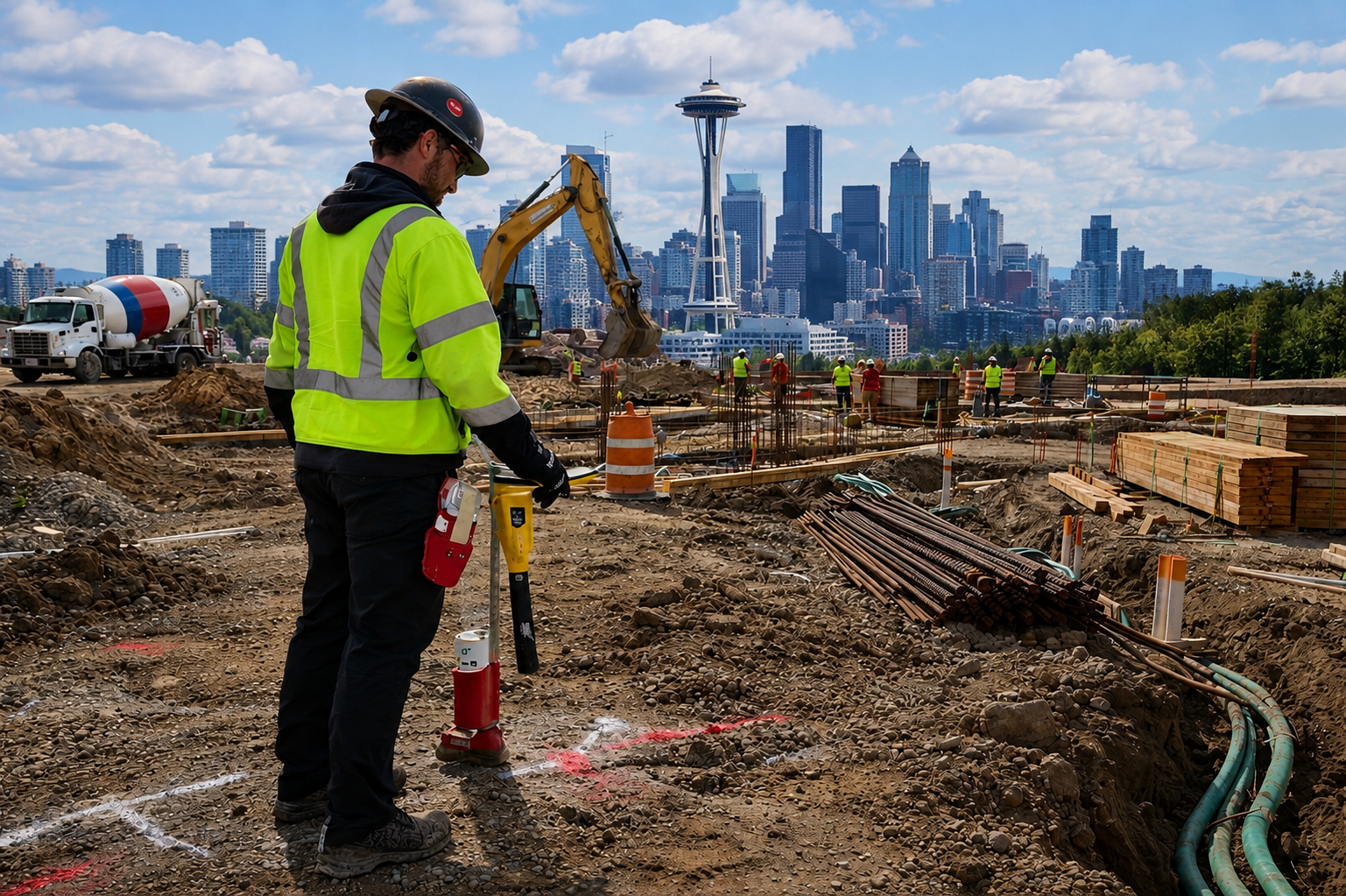
The process of identifying underground utilities stands as a vital requirement that ensures safe excavation operations and enables effective project planning. Knowledge of different detection methods is useful for reducing risk during work activities in Seattle’s urban areas and Tacoma’s expanding development areas. A utility locating service in Washington State employs various detection methods to find underground infrastructure, but each approach functions differently.
Washington State law mandates that 811 must be contacted before starting excavation work to request public utility marking according to RCW 19.122. The 811 service provides public utility locating services. However, 811 locates may not include private utilities, which is why additional locating approaches are often considered. Active and passive locating are two fundamental techniques used in the field, each with its own purpose, advantages, and service limitations.
What Is Active Utility Locating?
Active utility locating utilizes electromagnetic transmitters to send an electromagnetic radio frequency signal through conductive utility lines. Technicians use a receiver to follow the route of conductive utilities, which include electrical cables, gas lines, and metallic water pipes.
In a typical utility locating service in Washington, technicians use transmitters and receivers to track the applied signal from the utility path. The technicians utilize direct connection methods, inductive clamping, and signal induction methods based on both accessibility and site conditions.
Active locating is often used when:
- Utility systems can be reached through their primary access point to the operation area.
- The utility system is conductive
However, results depend on multiple factors, which include the continuity of signals, the presence of nearby utility interference, and the existing environmental conditions. Non-conductive or inaccessible utility system requires the implementation of alternative solutions to enhance visibility.
What Is Passive Utility Locating?
Passive utility locating does not involve applying a signal. Instead, it detects signals that utilities already emit naturally. These may include electrical currents, communication frequencies, or radio signals present in energized lines.
Technicians performing private utility locating services in Washington often use passive scanning as part of an initial site assessment. This approach can help identify utilities that may not have been previously documented or are not accessible for active signal application.
Passive locating is commonly used to:
- Identify energized electrical lines (such as 50/60 Hz signals)
- Detect communication lines emitting radio frequencies
- Scan an area for unknown or undocumented utilities
While passive locating can provide useful insights, it may not detect all utilities. Non-energized or non-conductive lines may not emit detectable signals, and signal interference can affect clarity. Because of these limitations, passive locating is typically used alongside other detection methods.
Key Differences Between Active and Passive Locating
Although both methods are essential, they serve different roles in subsurface investigations.
Active Locating
- Requires a signal application
- Best suited for conductive utilities
- Provides a more controlled trace path
- Dependent on access and signal quality
Passive Locating
- Detects naturally occurring signals
- Useful for identifying energized or unknown utilities
- Does not require direct access to the utility
- May not detect all subsurface infrastructure
These differences highlight why no single method can identify every utility in all conditions. Site variables such as soil composition, congestion, and utility material can influence detection results.
Why Both Methods Are Often Used Together
In many projects, technicians combine both active and passive locating techniques to improve overall understanding of subsurface conditions. This approach allows for cross-verification of findings and helps address the limitations of each method.
For example:
- Passive scanning may identify energized lines in a congested area
- Active locating may then be used to trace specific conductive utilities
- Additional technologies, such as Ground Penetrating Radar (GPR), may assist in identifying non-conductive or inaccessible infrastructure
When working with private utility locating services in Washington, combining multiple detection methods can help provide a more complete picture of underground conditions. However, even when multiple technologies are used, results remain dependent on site conditions and accessibility.
Technologies That Support Utility Locating
Modern utility locating often involves more than just active and passive methods. Depending on the project requirements, technicians may use a range of complementary technologies.
These may include:
- Ground Penetrating Radar (GPR) for subsurface imaging
- Magnetic detection for identifying ferrous components
- Acoustic pipe detection for non-conductive water lines
- Video pipe inspections for internal pipe verification
- Utility mapping for recording located infrastructure
Each technology offers specific advantages, but all are subject to operational limitations such as soil conditions, depth, material type, and environmental interference. Technicians evaluate these factors and, with client approval, select the most appropriate combination of services.
Conclusion
Active and passive utility locating are both essential components of subsurface investigation, each serving a distinct purpose. While active locating provides controlled tracing of conductive utilities, passive locating helps identify signals from energized or unknown infrastructure. Understanding how these methods differ and how they work together can support safer excavation planning. Because 811 locates focus on public utilities, additional steps may be required to identify private infrastructure before digging. By using multiple detection methods and considering site-specific conditions, a more informed approach to utility awareness can be achieved. For projects requiring a structured and professional approach to subsurface visibility, C-N-I Locates Ltd. provides services designed to support informed decision-making while recognizing the practical limitations of utility detection technologies.
